9.6.5 Further aerial photo applications
Three further example data sets demonstrate other aerial photo applications. It is recommended to have a close look on these data sets and to calculate them.
The presentation of layout had been left out here. The program REPLO shows all photo and point arrangements with free selectable parameters.
\Bingo\DemoData\Gps_Fairfield\:
In this case the same data set as in the prior example is used. But the correction of the GPS-measurement is carried out with shift and drift parameters. Cross strips are included.
\Bingo\DemoData\Simple_AT\:
This example shows a simple aerial triangulation.
\Bingo\DemoData\IMUdata\:
Example data for a simultaneous calibration of an inertial measurement unit (IMU) mounted at an aerial survey camera. The data set includes ground control points as well as GPS data.
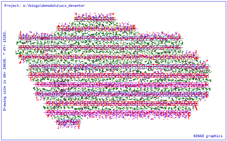
\Bingo\DemoData\UCX_Deventer\:
Example data for the adjustment of a data set with UltraCamX with 478 images, GPS/IMU data, and ground control points as well as simultaneous calibration.